
East Zone
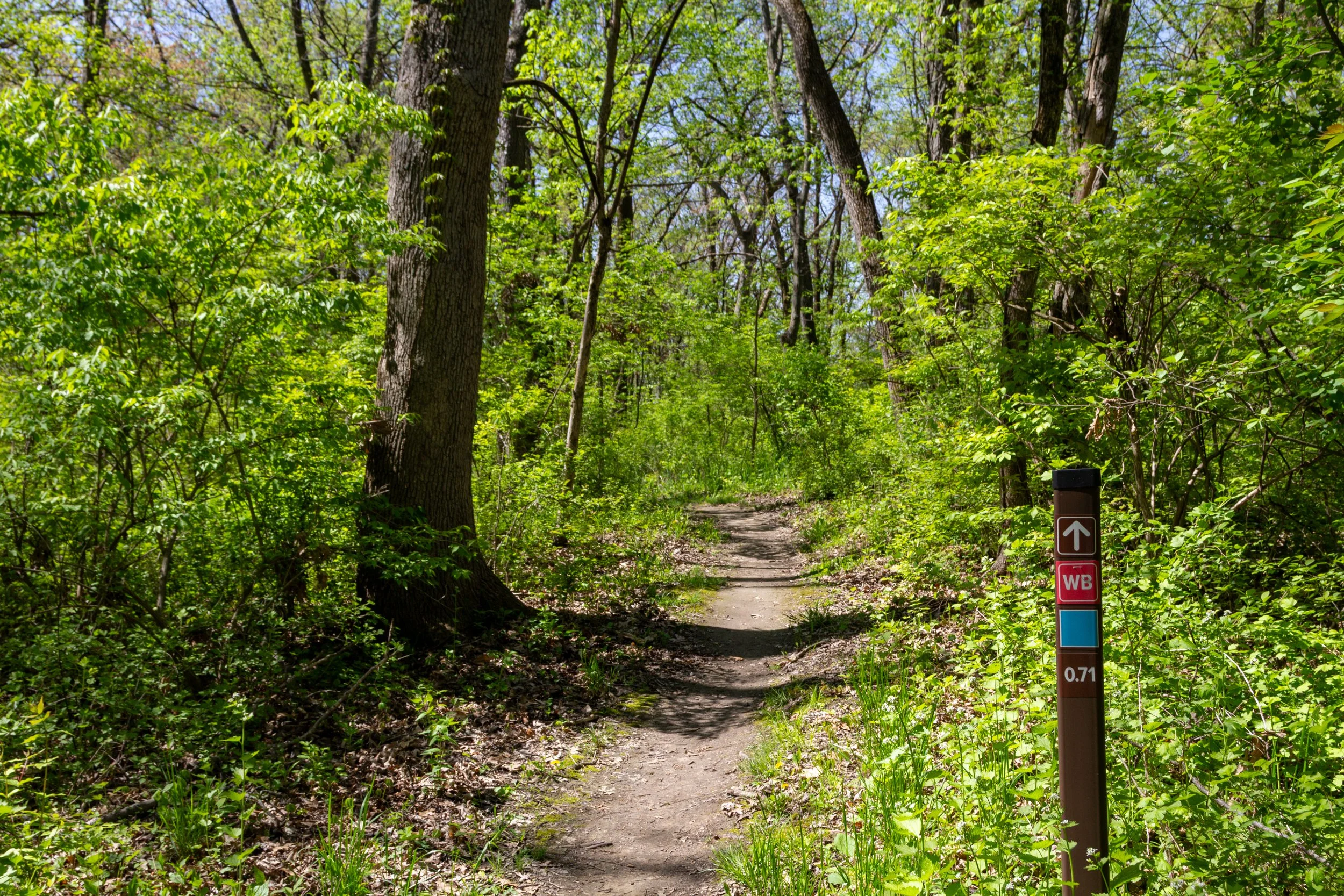
Whiz Bang
This 0.94-mile multi-use contour flow trail cuts through the North-West corner of the East Zone. This intermediate trail is named after small, high-speed artillery shells that explode nearly at the same time that their sound is heard, giving little warning for soldiers to take cover.
Daisy Cutter
This 0.82-mile multi-use contour flow trail cuts through the South-West corner of the East Zone. This intermediate loop is named after the fuse used on some aerial bombs which were designed to detonate at (or just above) ground level.

Black Hawk
This 0.70-mile multi-use contour flow trail cuts through the South-East corner of the East Zone. This intermediate loop is named for the 84th Blackhawk Division, which was housed at Camp Grant. The name also honors Black Hawk, the Sauk warrior and leader, that was noted to travel through this area during the Black Hawk War of 1832.

.30 Caliber
This 0.59-mile multi-use contour flow trail cuts through the North-East corner of the East Zone. This intermediate loop is named after the armor piercing ammunition used in the M1903 Springfield and M1917 Enfield rifles, which were both heavily used by the United States during World War I.
Old Growth Forest (10)
The canopy of the Old Growth Forest at Atwood Park consists primarily of Oak and Hickory species. Old growth forests are characterized by having mature trees 150 years or older. Yes, some of these trees were here before this park was Camp Grant!

Trench Bunkers (11)
These bunkers are remnant structures of Camp Grant. They were most likely used to prepare soldiers to deal with small arms fire, as they are fairly shallow. This allows soldiers to more easily enter and leave cover within the shelter but does not offer much protection from larger munitions. Soldiers would use these bunkers for protection during training exercises to score their aim when firing at targets.

Maintenance Shed
This building just north of the bridge is accessible by our maintenance vehicles and is where many projects around the park begin!

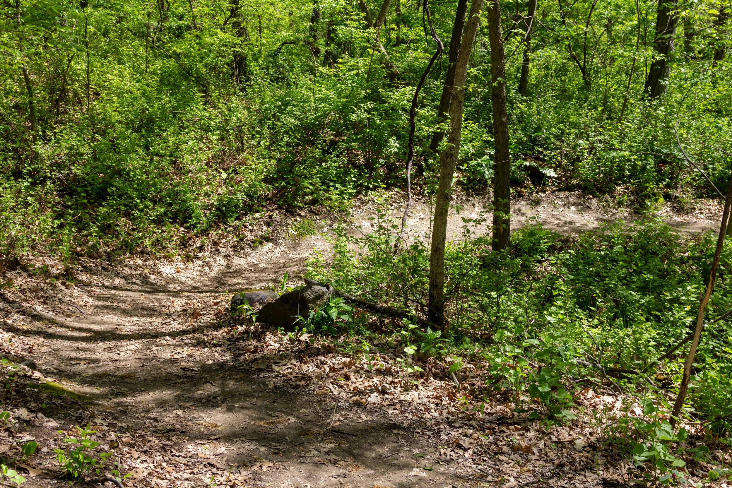
Fossil Creek (13)
This creek, leading downhill towards the Kishwaukee is a common place for marine fossils from the Pleistocene Epoch to be found. During this time, the whole state was covered by glaciers, which deposited a wide variety of aquatic life across the land. Throughout the year, this is mainly a dry creek, but after a heavy rainstorm, you might just find water in it. This creek divides the four multi-use trail loops in the East Zone in half and provides some beautiful views where the trails connect.
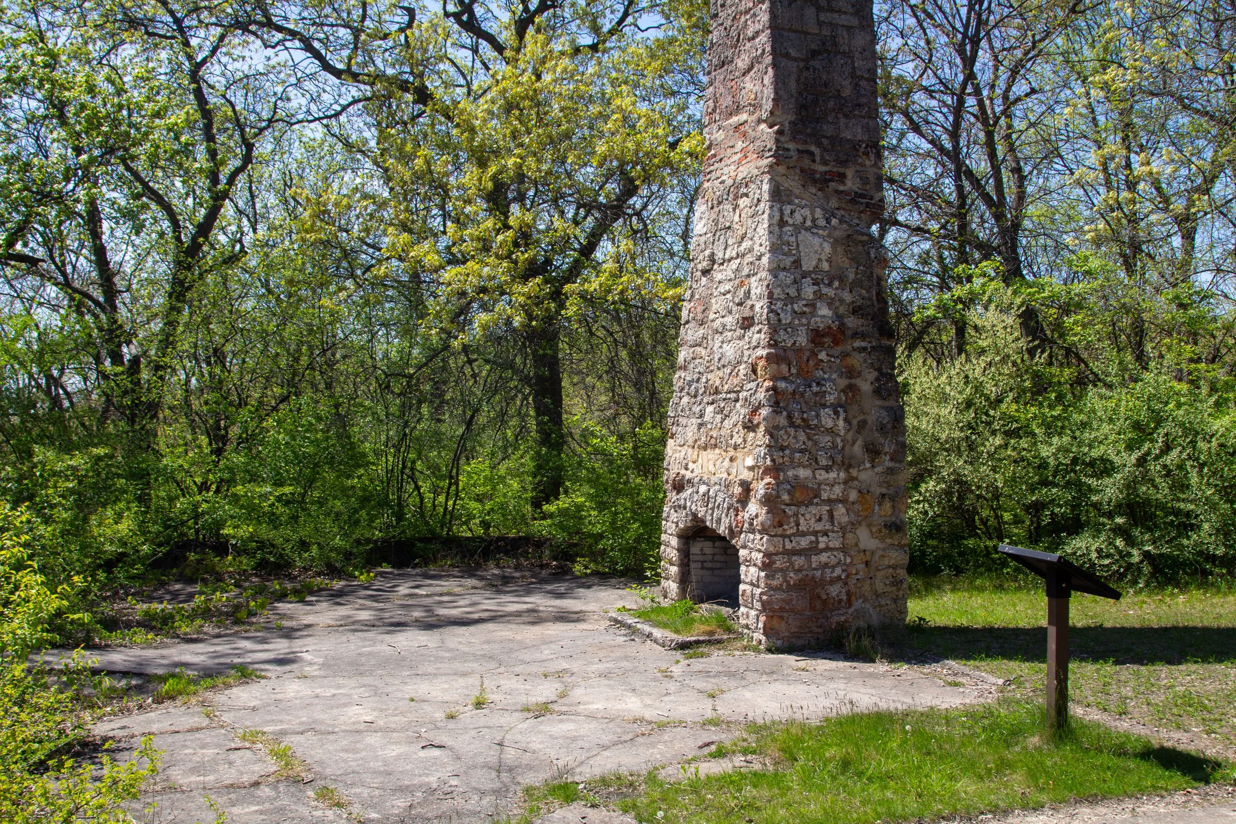
Old Stone Foundation (14)
Before the Atwood Center as we know today was built in 1960, the old officer’s quarters from Camp Grant were used for programming in the early days of Atwood Park, but burned down, leaving only the foundation and chimney behind. Before it burnt down, this lodge was the main home base for camps like the Rockford Park District’s Wilderness Camp, among others. In photographs and newspaper clippings from the time, you can see that from this lodge, at this top of the hill, there was a toboggan run that went down towards the river.
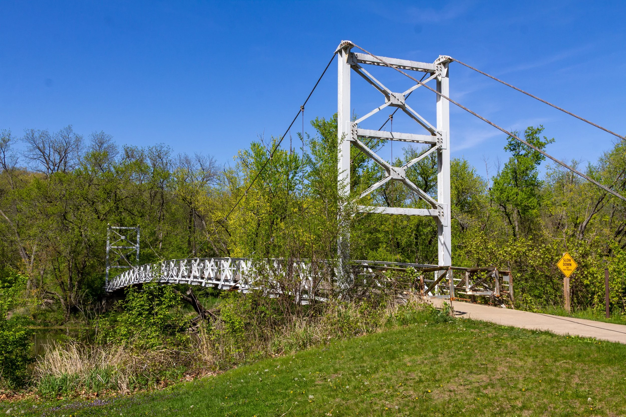
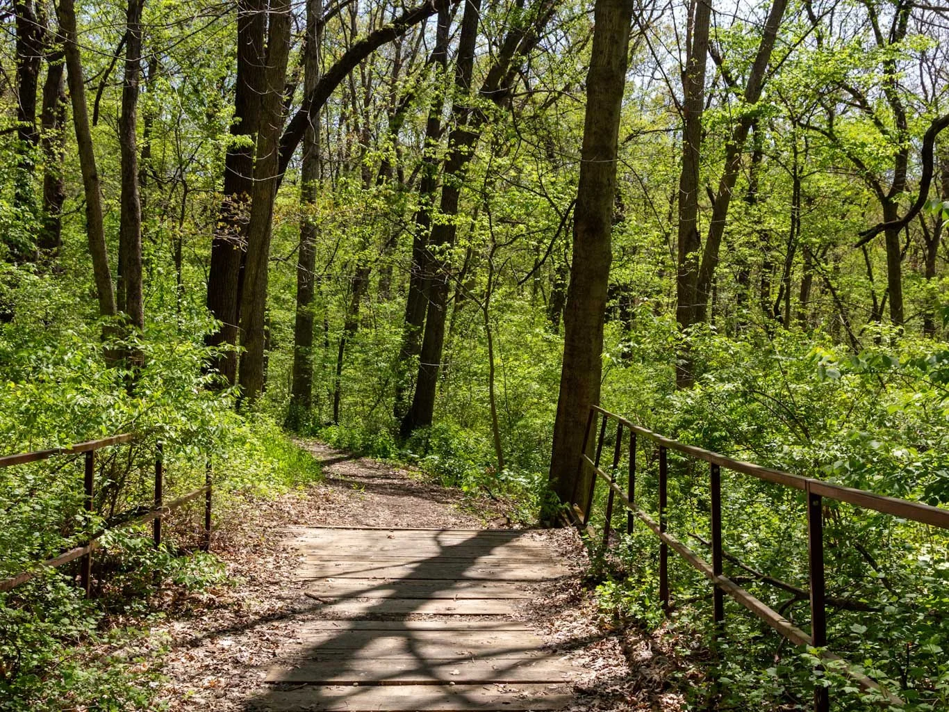
Suspension Bridge (17)
Built in 1959, this pedestrian foot bridge is the only way to cross the Kishwaukee River without a boat in Atwood Park. This is a favorite location by many in the park due to its gorgeous river views coupled with the gentle swaying of the bridge as one passes over it. Unifying the park’s north and south side, this suspension bridge is symbolized in Atwood Park’s logo.

Field Bunkers (18)
These bunkers are much deeper than the Trench Bunkers (Point of Interest 12) and were used to prepare soldiers to protect themselves during mortar and artillery barrages which were common on the Western Front during WWI. While training at Camp Grant, soldiers would use these for protection during training exercises. Today, you can view these remnants from above ground.

Continue Exploring
-

Atwood Park Lodge Zone
-

East Zone
-

Marsh Zone
-

East Advanced Zone
-

Trailhead Zone
-
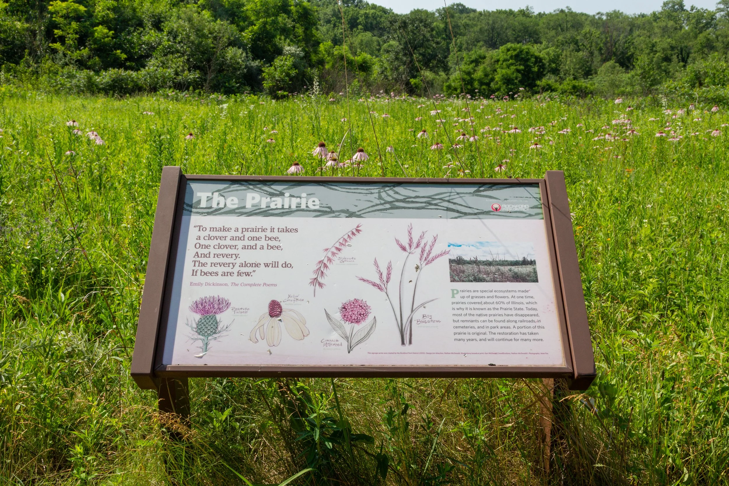
Prairie Zone